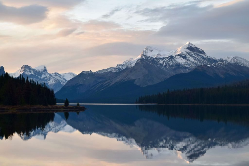
The Jasper Skyline Trail
Surviving 44km Above the Treeline
The Jasper Skyline Trail is a premier 44-kilometer backcountry traverse through the heart of the Canadian Rockies. Starting at the high-elevation Maligne Lake trailhead and concluding at the Signal Mountain fire road descent, this point-to-point route requires intense physical preparation and calculated logistical planning to navigate the Parks Canada reservation system, vehicle shuttles, and unpredictable alpine weather.
Unlike standard forested treks, the Skyline Trail is famous for sustaining over 25 kilometers of continuous hiking entirely above the treeline. This extreme exposure offers unparalleled panoramic views of the Athabasca River Valley, but it also strips away all natural shelter, forcing hikers to confront high winds, sudden thunderstorms, and the steep, snow-packed ascent over The Notch (2,510m).